
Our work · the Association Maps
Mapping the mental health sector
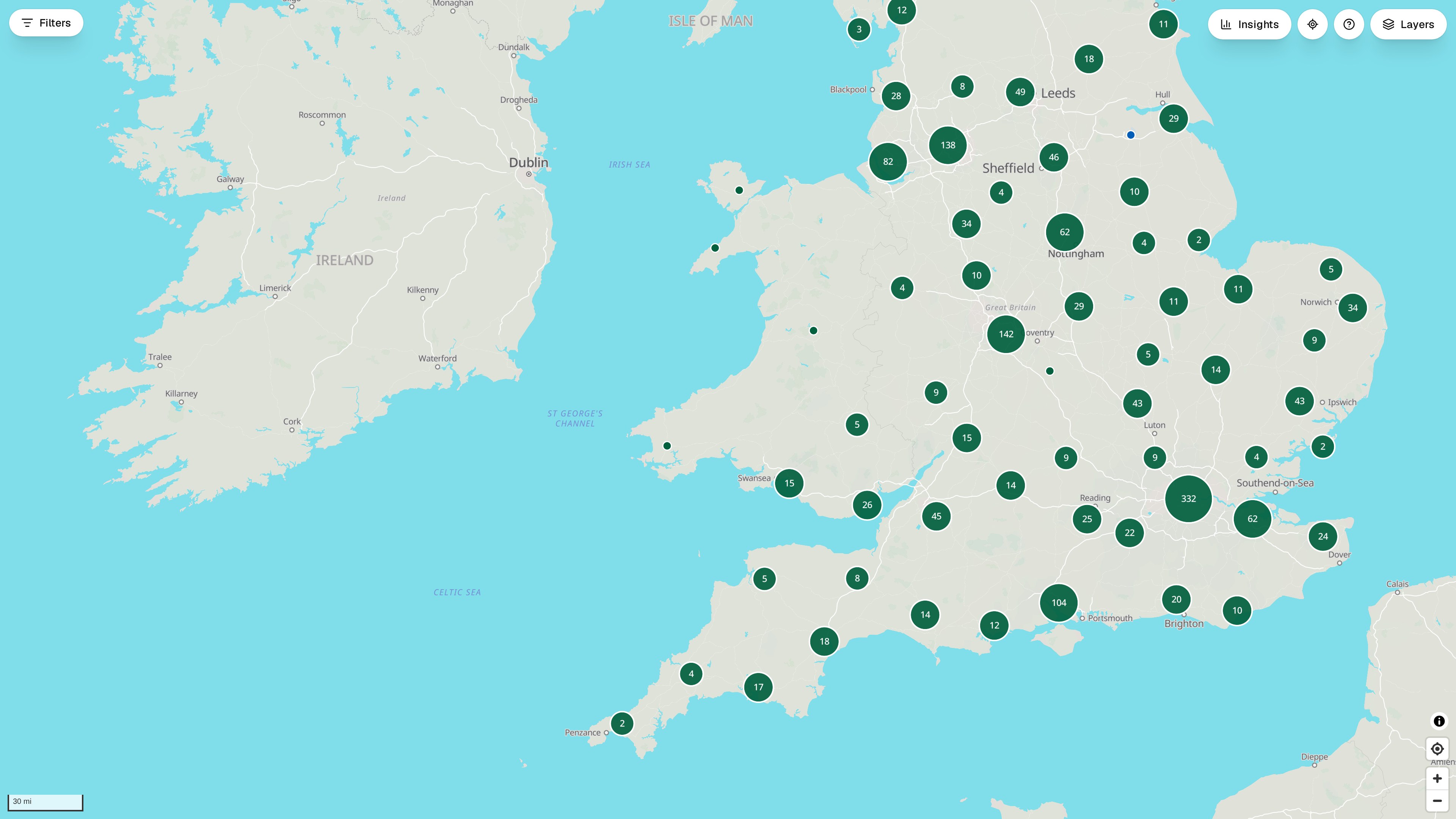
The Association Maps is the Association’s own map of mental health services in England and Wales: every place where support is delivered, the people who live around it and the figures that describe their need. We built it in-house on open-source software to take the place of the licensed ArcGIS maps the Association had relied on for years – and to go further.
- Every service on one map. Nearly 1,900 places of support, coloured by type of organisation, each with its own card: Care Quality Commission registration, the Association membership, types of service and contact details – with A&E departments and the new neighbourhood mental health centres alongside.
- Figures from many sources, drawn together. Census 2021, the English Indices of Deprivation 2025, NHS England, the Office for National Statistics and Skills for Care: 94 figures for 42 integrated care boards, 174 local authorities, 575 constituencies and 8 regions, served from one live record every time a page opens.
- Need, provision and gaps. Shade any area by any figure, open the profile of a place, compare two areas side by side, and download every chart as a picture or as data for a bid or a board paper.
- Kept right by the sector. Members and visitors report missing services and corrections; nothing reaches the map until the Association’s team has checked it.
Interactive tour of the map